WHOI glaciologist Sarah Das (climbing to reach a temperature sensor) spent July 2008 in Greenland studying lakes that form when the ice surface melts each year. The goal of this project, and many others like it in remote polar regions, is long-term measurements. How the ice moved on a given day and what the thermometer did are just small pieces to a larger puzzle. The key for Das is finding patterns, dips, and climbs in this information over time. Greenland—the world’s largest island—is also home to one of the world’s largest ice sheets (after Antarctica). If Greenland’s two-mile-thick ice sheet melts completely, it would raise global sea level by 23 feet (7 meters), drowning significant portions of coastal regions under water.
(Photo by Chris Linder, Woods Hole Oceanographic Institution)
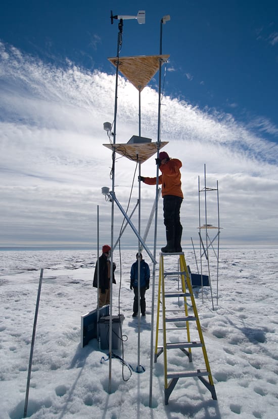
Image and Visual Licensing
WHOI copyright digital assets (stills and video) on this website can be licensed for non-commercial use upon request and approval. Please submit your request via our Media Request Form.
For assistance or accessibility accommodations, call (508) 289-2647.