Five things to know about NOAA’s 2021 Tech Demo
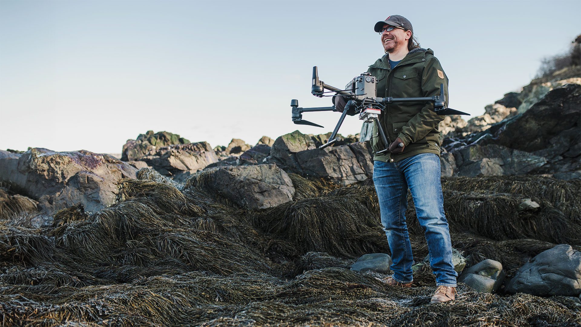
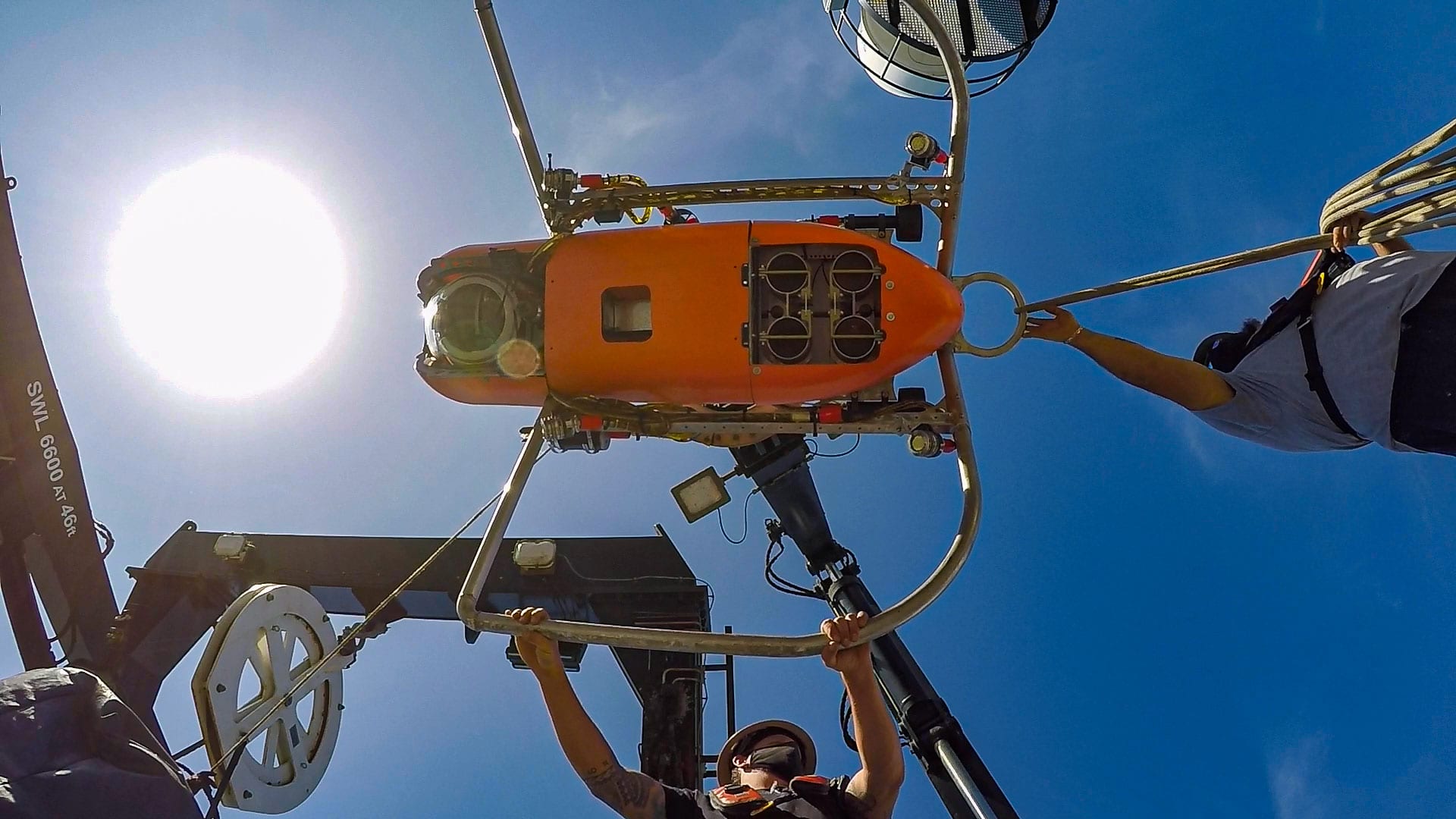
Researchers prepare WHOI’s autonomous underwater vehicle, Orpheus for its first deep dive of 2021Tech Demo.
Estimated reading time: 4 minutes
Researchers prepare WHOI's autonomous underwater vehicle, Orpheus for its first deep dive of 2021Tech Demo. During the demonstration, researchers aboard the NOAA's Okeanos Explorer will test several emerging technologies that will potentially allow us to explore deeper, farther, and faster than previously possible. (Photo courtesy of NOAA Ocean Exploration, 2021 Technology Demonstration)
Despite the fact that the ocean covers approximately 70% of Earth's surface and plays a critical role in supporting life on our planet, from the air we breathe and the food we eat to weather and climate patterns, only a small fraction of our ocean has been explored, and much of that exploration has occurred in shallower waters. Deep reaches of the ocean are places with almost freezing temperatures, corrosive saltwater, limited or no light, and extreme pressures, making them incredibly challenging to reach and explore without the right technology.
This week, WHOI's autonomous underwater vehicle, Orpheus, is about to take its first deep dive of NOAA's 2021 Technology Demonstration. During the expedition, researchers aboard the NOAA's Okeanos Explorer will test several emerging technologies that will potentially allow us to explore deeper, farther, and faster than previously possible. Data collected with these technologies, when combined with more traditional work happening via sonars and remotely operated vehicles deployed directly from research vessels, will help us fill gaps in our understanding of the deep ocean and enhance our ability to identify, understand, protect, and manage ocean resources for present and future generations.
Here are five key things to know about the expedition:
1
Orpheus and Eurydice autonomous underwater vehicles (AUVs) will provide access to the some of the deepest parts of our world ocean: Orpheus and Eurydice were designed by WHOI in collaboration with NASA's Jet Propulsion Laboratory to withstand the pressure in the ocean down to 10,000 meters (6.2 miles) depth, providing access to some of the deepest parts of our ocean, including the hadal zone. These AUVs are small, lightweight, low-cost, deployable from research vessels and ships of opportunity of all sizes, and require minimal specialized technical support. Integration of a vision-based system for estimating relative position developed by NASA's Jet Propulsion Laboratory, similar to the Terrain Relative Navigation system used on the Mars Perseverance rover, will allow the AUVs to quickly and autonomously sense their locations relative to the seafloor to avoid hazards and recognize seafloor features that may be of scientific interest. Equipped with cameras to survey the seafloor and the potential for customization to meet varying mission objectives, Orpheus and Eurydice can help to answer fundamental questions about what is living in the deepest parts of our ocean.
2
The hadal zone, which includes everything deeper than 6,000 meters (3.7 miles), is one of the most poorly investigated and mysterious habitats on Earth, meaning there is a lot left there to discover and understand. Now known to support a vast array of life, exploring the hadal zone will help us understand the composition and distribution of animal species in this part of the ocean and how they have evolved to survive under immense cold, pressure, and darkness. While Orpheus and Eurydice will not reach hadal depths during the 2021 Technology Demonstration, this deployment, which is supported by the NOAA Ocean Exploration Cooperative Institute, is an important step in getting the AUVs operational.
3
What we learn from ocean exploration could advance space exploration, and vice versa: The extreme environments of Earth's deep ocean can mimic extreme conditions in space, making our own ocean a good place to test new technologies for space exploration (and vice versa). By examining parallels in ocean and space exploration, we can develop better tools and technologies to study life both on Earth and in space. Pressures at the hadal depths that Orpheus and Eurydice can explore are roughly that which engineers expect to encounter when and if a probe is ever able to penetrate the ice shell of Europa to explore the seafloor of that ocean world.
4
eDNA (environmental DNA ) can allow us to identify biodiversity and species composition from a single sample of seawater or sediment: The genetic material shed by organisms into the environment, known as environmental DNA, or eDNA, can be analyzed to establish a baseline of community structure and biodiversity in the marine ecosystem and to detect invasive species, harmful algal blooms, pathogens and parasites, migratory species, cryptic species, endangered species, and more. eDNA techniques are nondestructive and noninvasive and can improve access to hard-to-reach ecosystems like the deep ocean. In addition, they can provide comprehensive and accurate biological data with increased efficiency, resulting in timely public access to information. During the 2021 Technology Demonstration, NOAA Ocean Exploration is partnering with NOAA Fisheries' Northwest Fisheries Science Center to pilot eDNA field sampling protocols on Okeanos Explorer.
5
Mapping operations will extend bathymetric mapping coverage of U.S. waters: Seafloor mapping is the first step in exploring our ocean. Yet despite the fact that the ocean covers 70% of our planet's surface, less than 20% of the global seafloor has been mapped with modern high-resolution technology. Data collected during this expedition, with an advanced multibeam sonar system on NOAA Ship Okeanos Explorer and the AUVs, will help fill the mapping gaps on the Blake Plateau, which lies offshore of the southeast United States. New mapping data collected in this region in recent years by NOAA Ocean Exploration and partners are transforming scientific understanding of this area and have led to the recent discovery of some of the nation's most extensive contiguous formations of deep-sea coral reefs.

Text for this story was based on NOAA Ocean Exploration's 2021 Technology Demonstration Media Resources web page.