Ocean data gives Northeast fishermen an edge against a warming ocean
Fishermen successfully brace against warm water wave from Gulf Stream, thanking greater access to data from the WHOI Shelf Fleet Program
Estimated reading time: 3 minutes
 This article printed in Oceanus Fall 2021
In December 2020, a ring of warm water nearly 60 miles wide broke away from the Gulf Stream and displaced cold-water species sustaining many of New England's commercial fisheries. Thanks to a WHOI data-collection effort, one cohort of fishermen detected the temperature spike and moved to more fruitful fishing grounds.
"This is a good example of how, when people are willing to listen, and really learn to value the issues going on for another group, really remarkable things can occur."
—WHOI physical oceanographer Glen Gawarkiewicz
The northeast U.S. continental shelf break, where the intrusion was detected, is a fertile fishing area where nutrient-rich waters support a long list of commercially important species including Jonah crab, Atlantic cod, and black sea bass. In 2014, it became the focal point of a partnership between WHOI and the Commercial Fisheries Research Foundation (CFRF) in Rhode Island. That partnership, called the Shelf Fleet Research Program, arms a rotation of six fishing vessels with a suite of scientific sensors to expand observations of a rapidly warming part of the Atlantic Ocean.
"We give them equipment and the tools to collect real-time data-whether it's biological data on lobster and crab, or oceanographic, where they're getting temperature, salinity, and depth information," says Aubrey Ellertson, a research biologist and CFRF's program liaison.
Since 2014, fleet members have used WHOI-provided smart tablets to wirelessly acquire data in real time-an Etch-A-Sketch of crisscrossing environmental information.
In the beginning, Ellertson says, data were quietly transferred to WHOI once the boats came ashore. Later, "data dump" presentations by WHOI physical oceanographer Glen Gawarkiewicz helped them confidently translate these abstract lines into helpful clues for fishing.

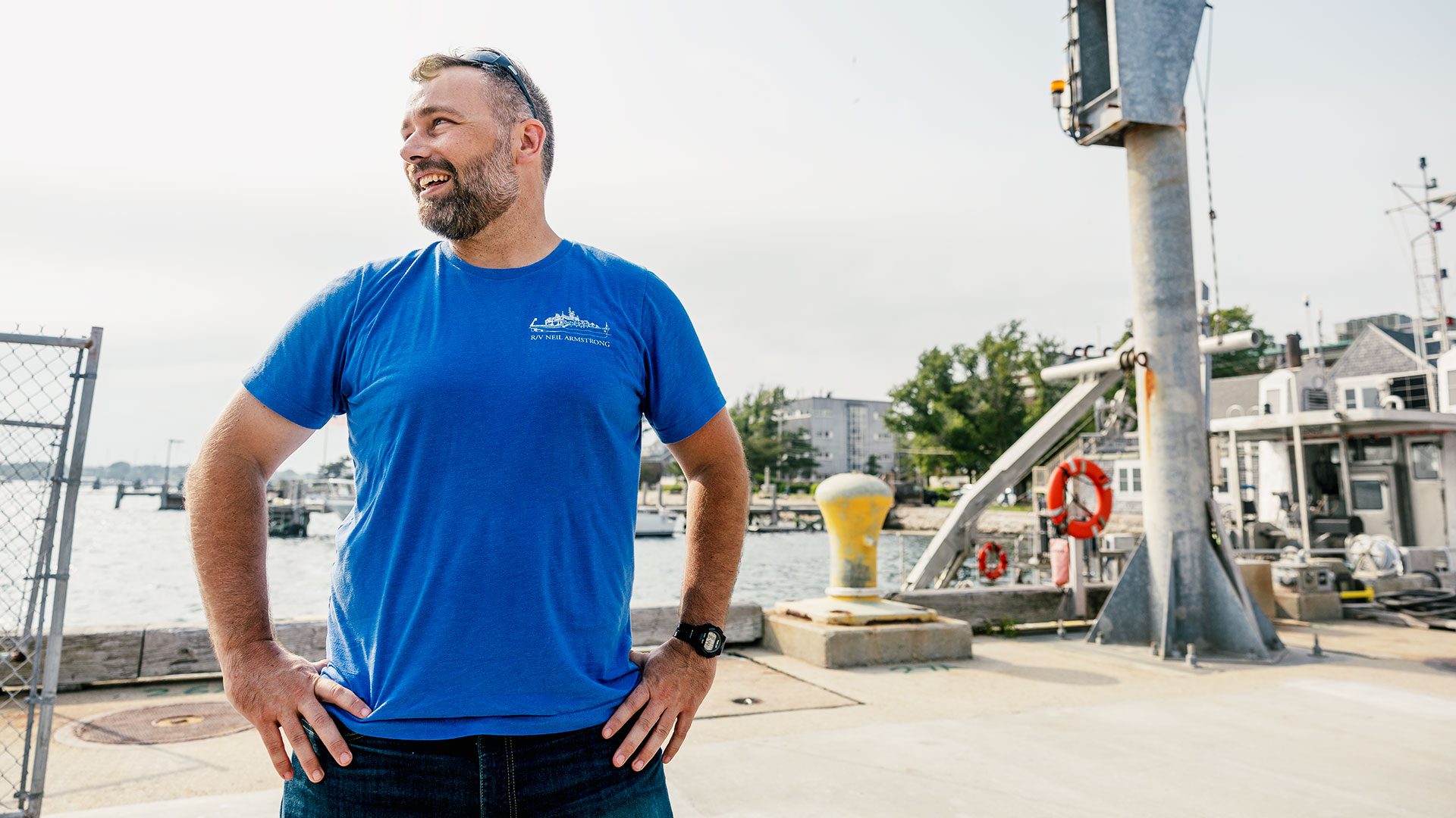
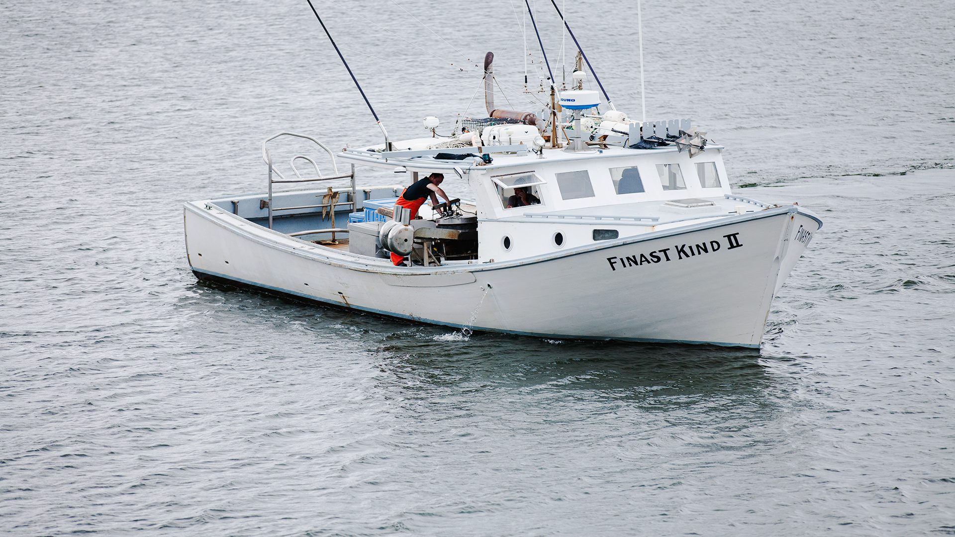
Gillnetter and captain of F/V Finast Kind II Rob Walz deploys a Shelf Research Fleet Program-issued CTD sensor in between fishing, south of Newport, Rhode Island. (Photos by Daniel Cojanu, © Woods Hole Oceanographic Institution)

As the captian probes the depths, data are transmitted wirelessly to his smart tablet, showing him potential changes in temperature and salinity that he can use to inform his fishing activities and report to scientists like Glen Gawarkiewicz at WHOI. (Photos by Daniel Cojanu, © Woods Hole Oceanographic Institution)
December's eddy phenomenon, known as a warm core ring, occurs when the current gains too much energy and destabilizes. The ring is visible to satellite imagery, but the resulting warm water creeping in from below the surface (called an intrusion) is undetectable without special equipment.
"Intrusions can be 60 miles across and last for months," says Gawarkiewicz about the eddies. "It's tricky; intrusions can move across the continental shelf at mid-depth. They're from 20 to 60 feet thick in the middle of the water column."
Indeed, the inconspicuous nature of warm water intrusions made Gawarkiewicz sure he would need to personally alert CFRF when WHOI science moorings detected the eddy last year. But when he called Ellertson, he was pleased to learn several fishermen had already adjusted course, citing the phenomenon by name.
Lobstermen like Capt. Peter Spong of the fishing vessel Brooke C quickly relocated their traps to cooler water and retained a fraction of their catch. Others, like Rob Walz of Finast Kind II, used the alert to save the costs of going out.
"Instead of wasting time, I worked on the boat," says Walz. "I'd rather fish, [but] it's proved the benefit of knowing what's going on. The boat's almost ready, and I can't wait to get back out there and get more readings."
Gawarkiewicz expects more warm core rings. Since 2000, the number of annual warm core rings has grown from 18 to 33. With program funds now frozen indefinitely since September, he says we're at a critical point of either supporting Northeast fisheries or leaving them to their own devices.
"This is a good example of how, when people are willing to listen, and really learn to value the issues going on for another group, really remarkable things can occur."