
Research Highlights
Oceanus Magazine
Like many boys who spend their youths throwing baseballs in Massachusetts parks, Tarantino dreamed of playing for the Red Sox. When not pitching, he liked to take apart his toys and put them back together, which ultimately led to a…
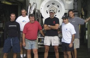
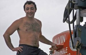
Forty summers ago in the Bahamas, two men climbed inside a 23-foot white submarine named Alvin and drove it to a depth 6,000 feet, a dive that certified them as the first pilots of the world’s deepest-diving research sub. Bill…
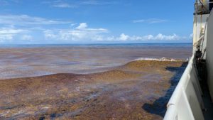
The historic bloom of toxic algae that blanketed New England’s waters and halted shellfishing from Maine to Martha’s Vineyard in the spring of 2005 is over. But scientists are now wondering if there will be an encore.
Before departing, the algae likely left behind a colonizing population that may promote blooms in southern New England for at least the next few years.
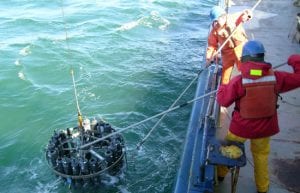
Coastal resource managers shut down shellfish beds in three New England states in mid-May—including rare closures of Massachusetts Bay and Cape Cod Bay—because of an intense bloom of the toxic algae Alexandrium fundyense. Researchers from the Woods Hole Oceanographic Institution saw the ‘red tide’ coming before its toxic effects reached the shore.
Researchers from Woods Hole Oceanographic Institution, the Marine Biological Laboratory (MBL), and the Massachusetts Institute of Technology (MIT) have embarked on a novel collaboration to investigate harmful algal blooms, ocean-borne pathogens, and potential pharmaceuticals from marine sources.
News Releases
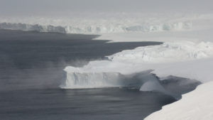
SAMS will operate autonomously for years in hostile, difficult-to-reach locations that are Ground Zero for global sea-level rise

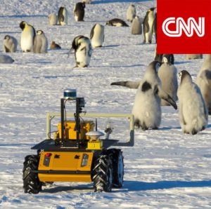
New method will provide accurate counts and breeding success of the threatened species in the light of climate change
Findings could lead to locating nutrient sources and providing management options
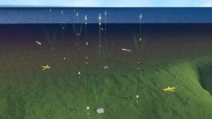
The OOI collects and serves measurements from more than 900 autonomous instruments on the seafloor and on moored and free-swimming platforms.
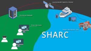
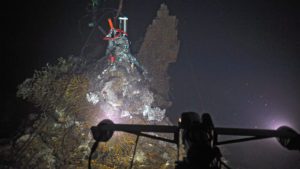
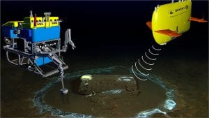
The Shared Autonomy for Remote Collaboration (SHARC) framework “enables remote participants to conduct shipboard operations and control robotic manipulators.
News & Insights
Fishing community and OOI scientists unite to study how the ocean is changing & what it means for global fishing industries
NSF program fosters collaboration between indigenous communities and traditional scientists, allowing WHOI’s autonomous vehicles to shed light on a changing Arctic
An investigative report this week in the LA Times features the work of WHOI’s marine geochemistry lab in identifying the discarded barrels and analyzing samples from the discovery.
DUNEX is a multi-agency, academic and stakeholder collaborative community experiment to study nearshore processes during coastal storms. Use this ArcGIS map to learn more about all the project sites along the North Carolina coastline.