
Image
Flying High
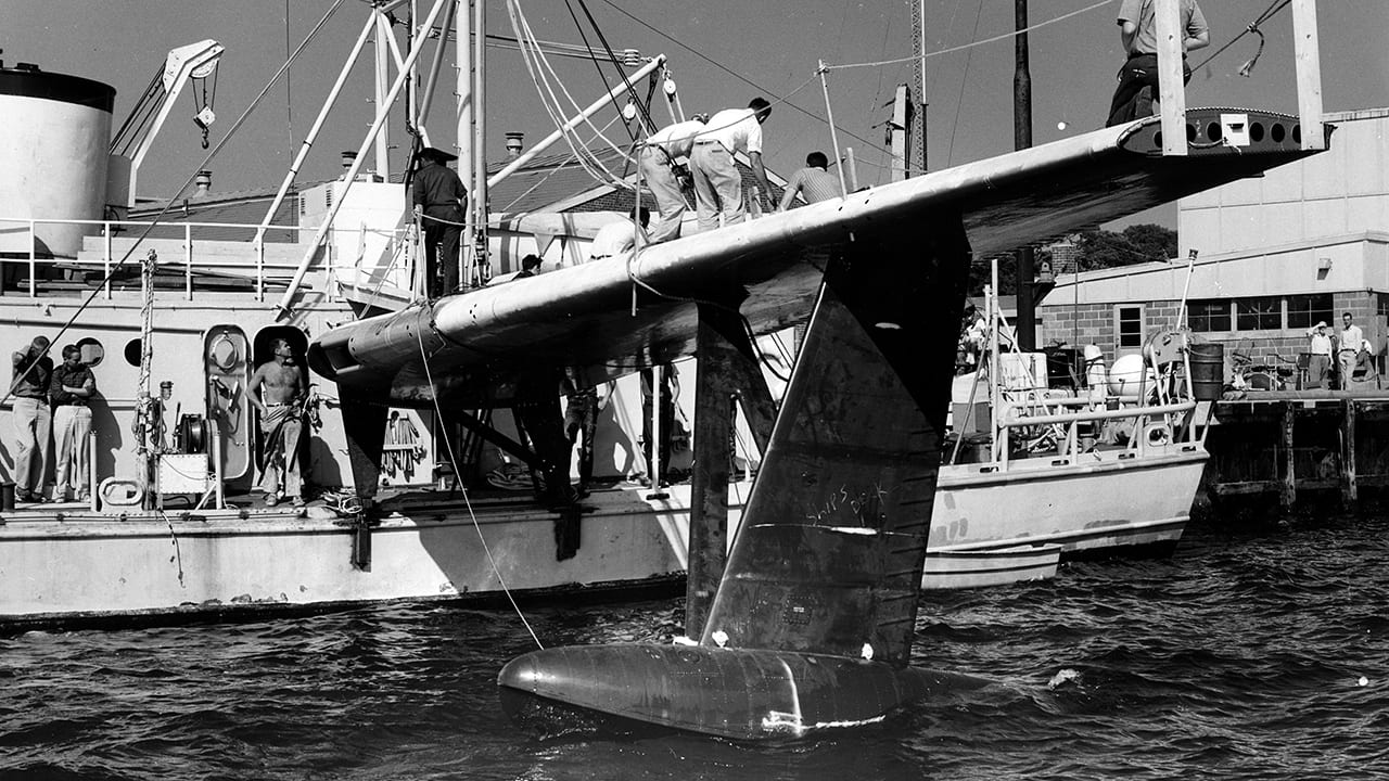
April 17, 2016The research vessel Crawford is shown with the wing of a P5 Marlin (P5M) seaplane strapped to its side in 1960. WHOI scientists made the modification in an attempt to improve the measurement of seafloor topography. Tests were carried out in the harbor on the Asterias, in Vineyard Sound on the Crawford, and on the high seas using a U.S. Navy a destroyer. An initial evaluation of this unusual arrangement indicated that it may have offered an improvement in measurements of the slope of the bottom topography over a single traverse of an area.(Photo courtesy of Woods Hole Oceanographic Institution Archives)
Image and Visual Licensing
WHOI copyright digital assets (stills and video) contained on this website can be licensed for non-commercial use upon request and approval. Please contact WHOI Digital Assets at images@whoi.edu or (508) 289-2647.