1976 M/V Argo Merchant
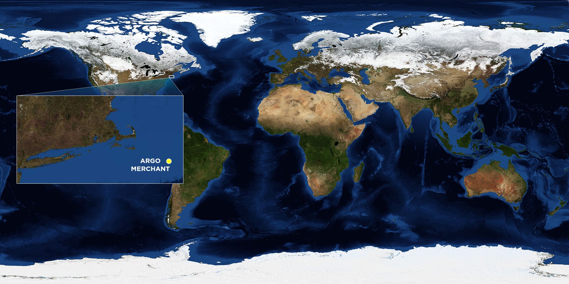
Location: 29 miles southeast of Nantucket Island
Date: December 15, 1976
Lat./Long.: 41°1'58.8"N, 69° 27'0"W
Material spilled: No. 6 Fuel Oil and cutter stock
Amount spilled: 183,000 barrels
Spill extent: uncertain
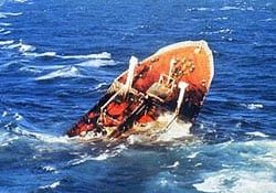
On Tuesday, December 15, 1976, the Argo Merchant, a Liberian-flagged tanker carrying nearly 8 million gallons of Number 6 fuel oil, ran aground on Fishing Rip Shoals, about 25 miles southeast of Nantucket Island. By late afternoon it became obvious that the ship could not free itself without help, but high seas not only kept ships away, but by Wednesday afternoon, had also dug the ship deeper into the sandy bottom and opened several major leaks. By Friday large amounts of oil had escaped and it became obvious that a major spill was imminent.
None of WHOI’s oceanographic ships were in the area because of previously scheduled research cruises, but scientists on R/V Oceanus 400 miles away, upon learning of the growing crisis, immediately began steaming home. A hastily organized cruise left Woods Hole on Monday with physical, chemical, and biological oceanographers from WHOI, the Coast Guard, and Marine Biological Lab. With a gale approaching, the group was able, in the space of a few hours, to take sediment and water samples at two sites before deteriorating conditions forced them back to port.
On a second cruise immediately after Christmas the group was able to conduct a second cruise ahead of another advancing storm, gathering more than one hundred samples at six sites.


