
Image
Volcano mapping
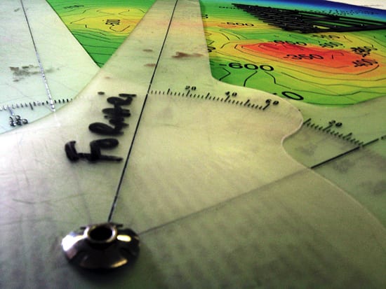
July 28, 2009A one-armed protractor, used for laying out ship tracks, rests on top of a map of the ‘Rumble III’ volcano, located in the Kermadec arc, north northeast of
New Zealand. In March 2009, the University of Washington’s student
cruise aboard R/V Thomas Thompson explored the Kermadec volcanic arc.
Marine geologist Dan Fornari was on the cruise to work with the students to map the Kermadecs with TowCam. Fornari
showed students how to plan TowCam deployments and plot TowCam survey
lines on large-scale maps during the tows, so that the photographic
observations could be used to map the seafloor terrains.
(Photo by Alexander Dorsk, Woods Hole Oceanographic Institution)
Image and Visual Licensing
WHOI copyright digital assets (stills and video) contained on this website can be licensed for non-commercial use upon request and approval. Please contact WHOI Digital Assets at images@whoi.edu or (508) 289-2647.