
Research Highlights
Oceanus Magazine
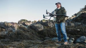
WHOI’s Tom Bell tracks changes to vulnerable coastal ecosystems with aerial imagery
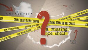
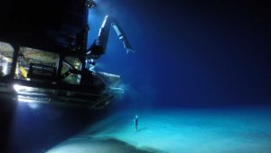
A year after East Antarctica’s Conger ice shelf collapsed, an expert uses forensic evidence to uncover what happened
News Releases
Five researchers have been recognized by the Woods Hole Oceanographic Institution (WHOI) for their contributions to ocean sciences research and education. All will receive funding provided by the endowed awards to support their research over periods of three to five…
News & Insights
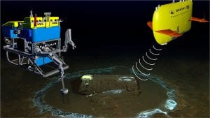
Fishing community and OOI scientists unite to study how the ocean is changing & what it means for global fishing industries
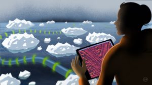
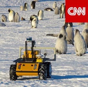
NSF program fosters collaboration between indigenous communities and traditional scientists, allowing WHOI’s autonomous vehicles to shed light on a changing Arctic
An investigative report this week in the LA Times features the work of WHOI’s marine geochemistry lab in identifying the discarded barrels and analyzing samples from the discovery.
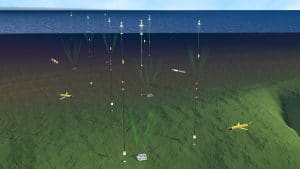
DUNEX is a multi-agency, academic and stakeholder collaborative community experiment to study nearshore processes during coastal storms. Use this ArcGIS map to learn more about all the project sites along the North Carolina coastline.